


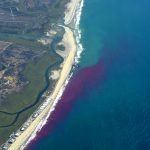
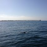
The dye’s evolution as of roughly 8 am PDT on the first day of the release. Dye was released about 300 m south of the IB pier a few blocks south of IB Blvd. It initially traveled northward within the surf-zone, but as time progressed the plume behaved quite unexpectedly.Photo: Stephen Holleman & Nick Statom
-
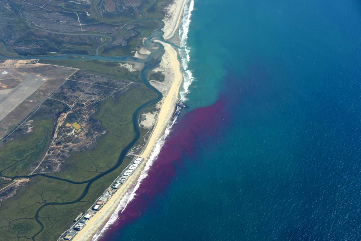
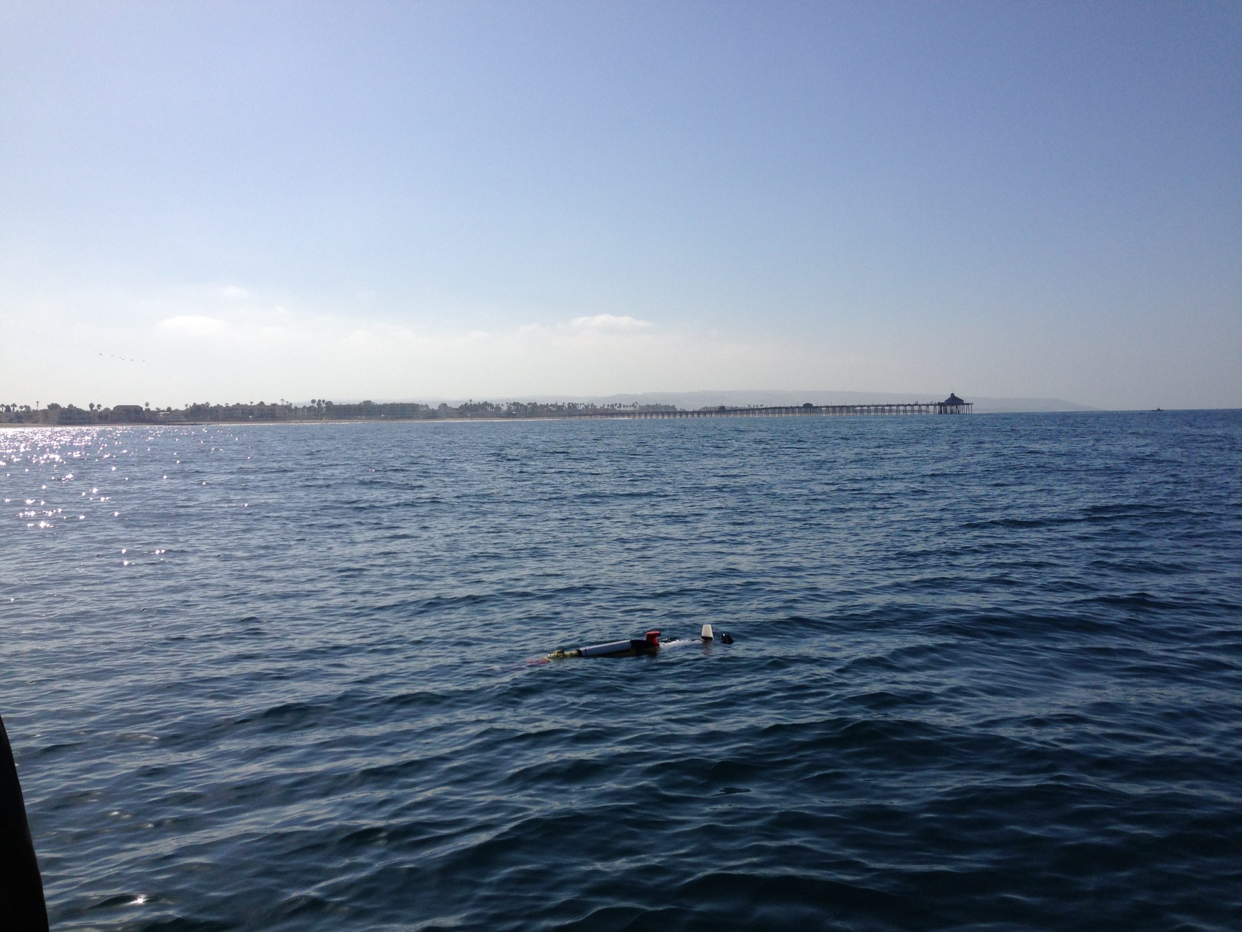
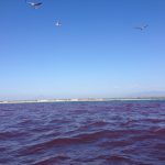
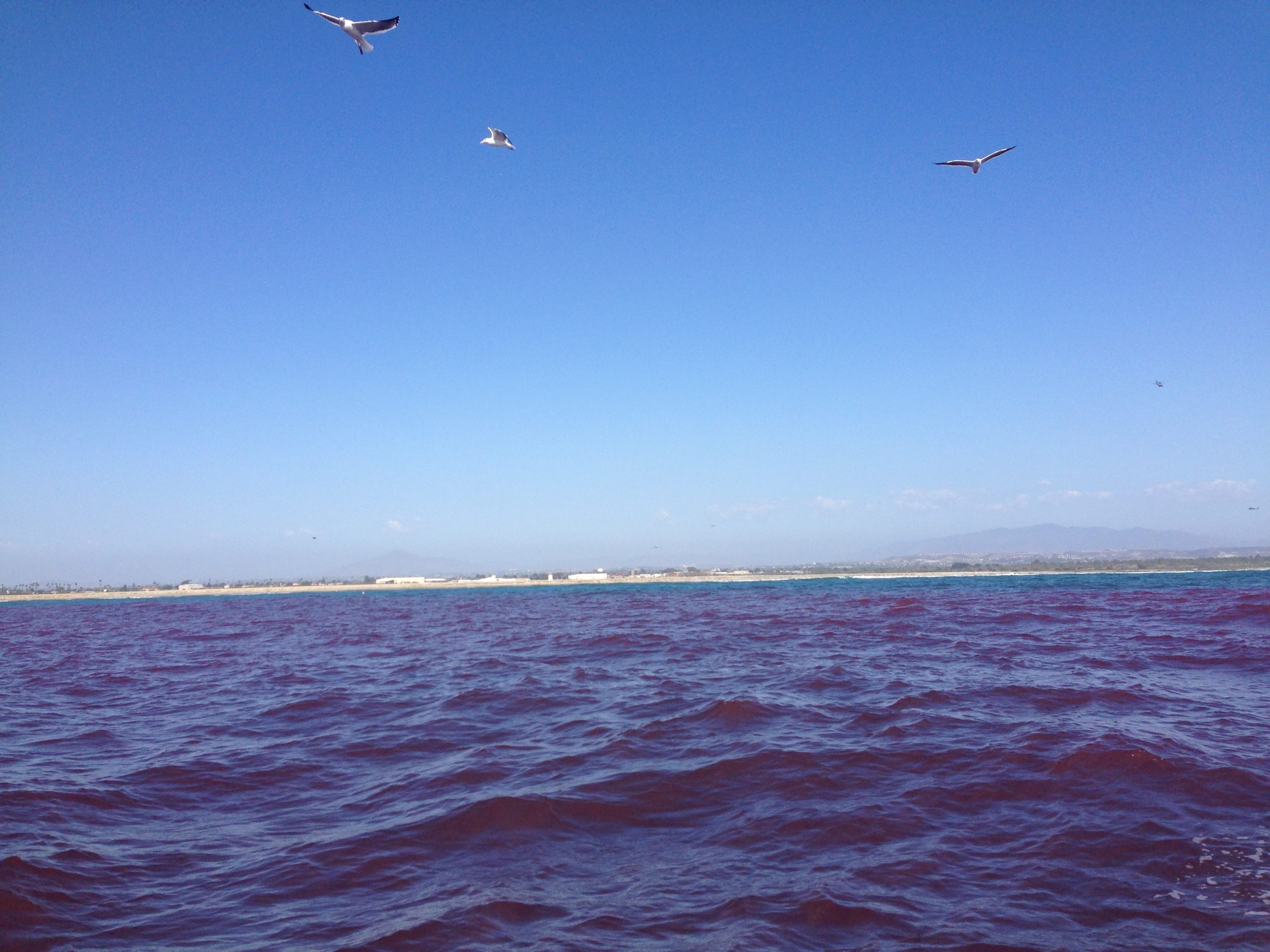
- The visible dye field as of 3pm PDT. It has migrated south from the release point and moved offshore just north of the estuary’s mouth.Photo: Stephen Holleman & Nick Statom
-

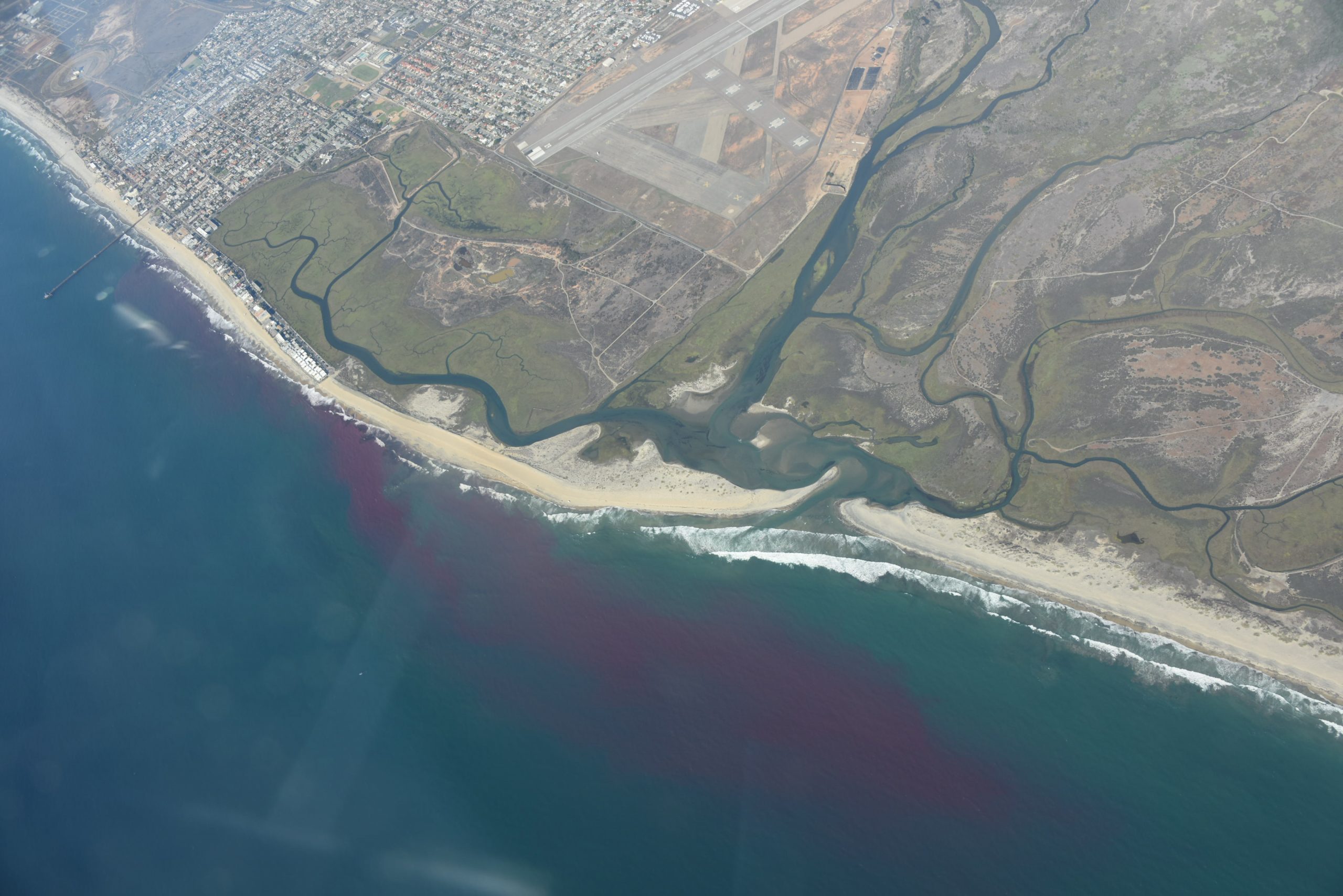
- The visible dye field as of 3pm PDT. It has migrated south from the release point and moved offshore just north of the estuary’s mouth.Photo: Stephen Holleman & Nick Statom
-
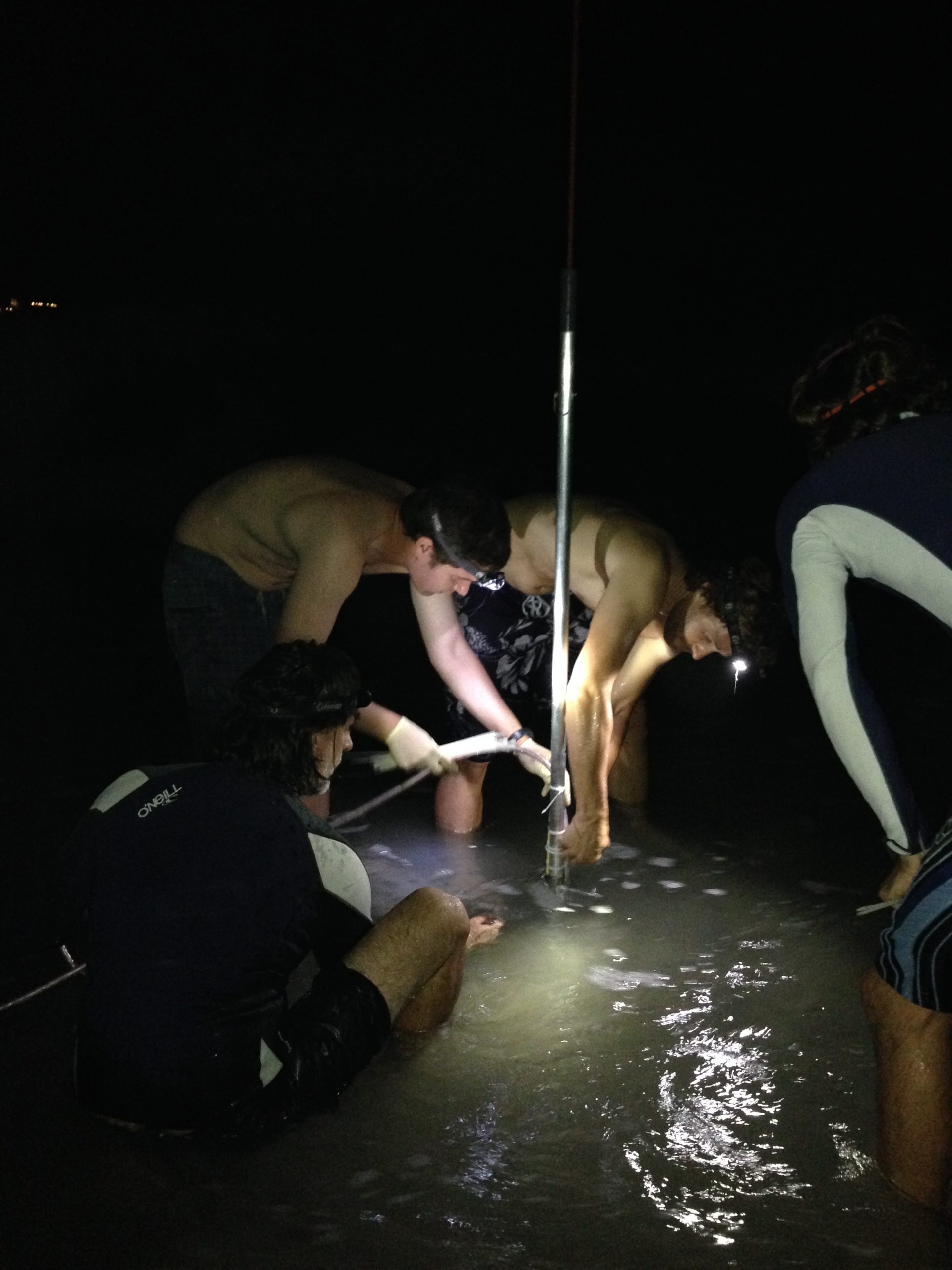
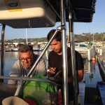
- prepping to release dye!

-
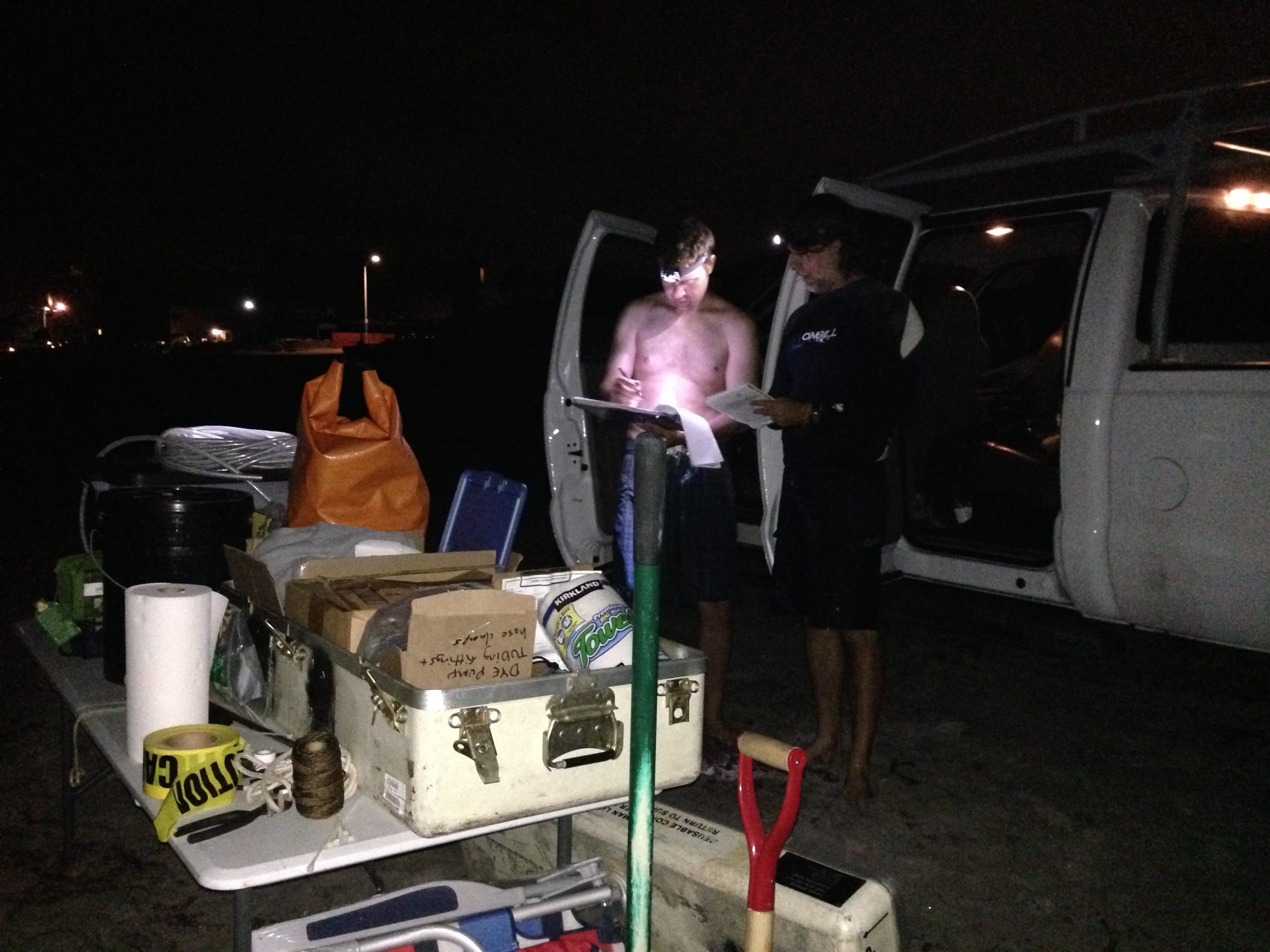
- setting parameters to start the dye release!
-
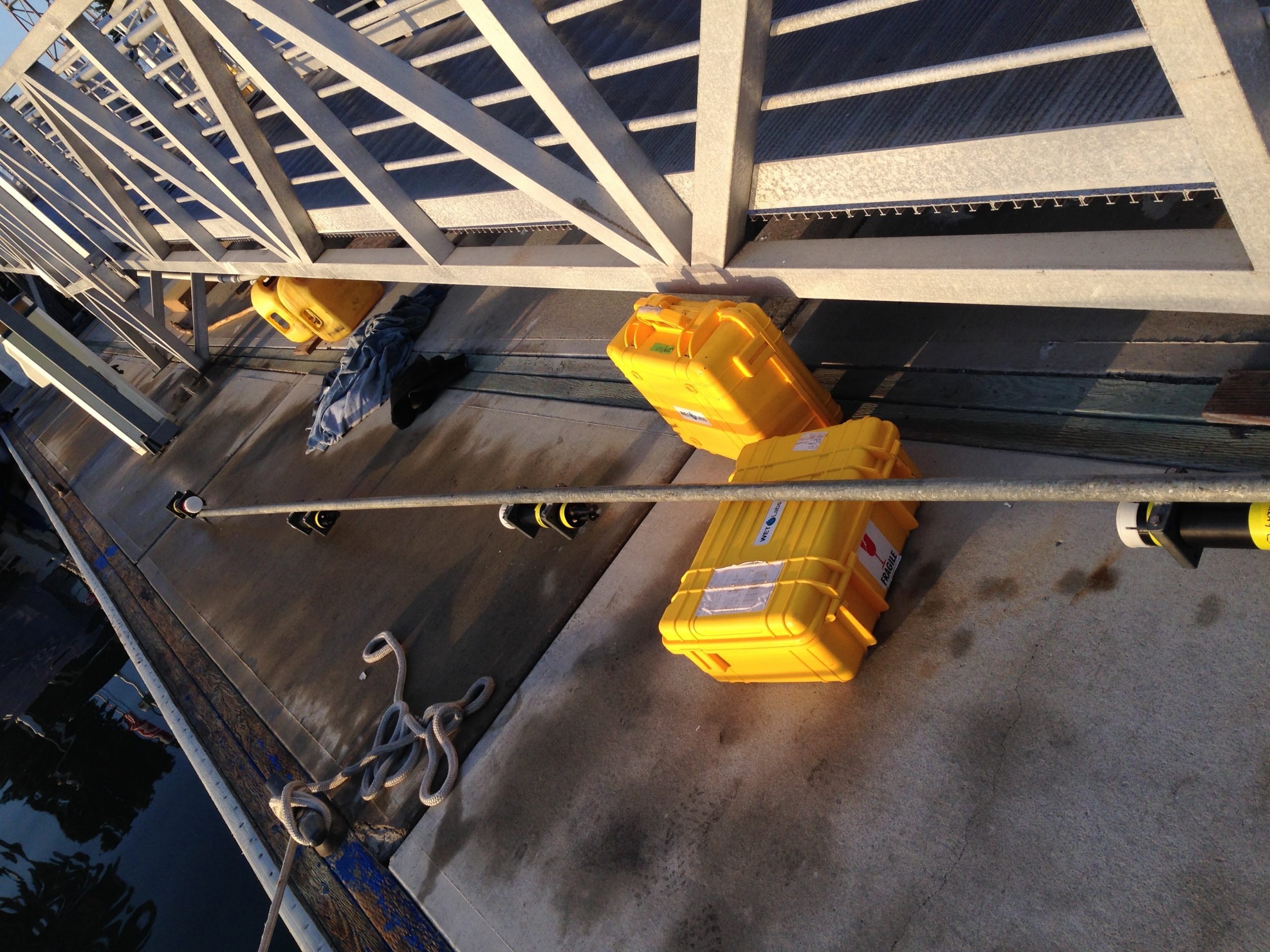
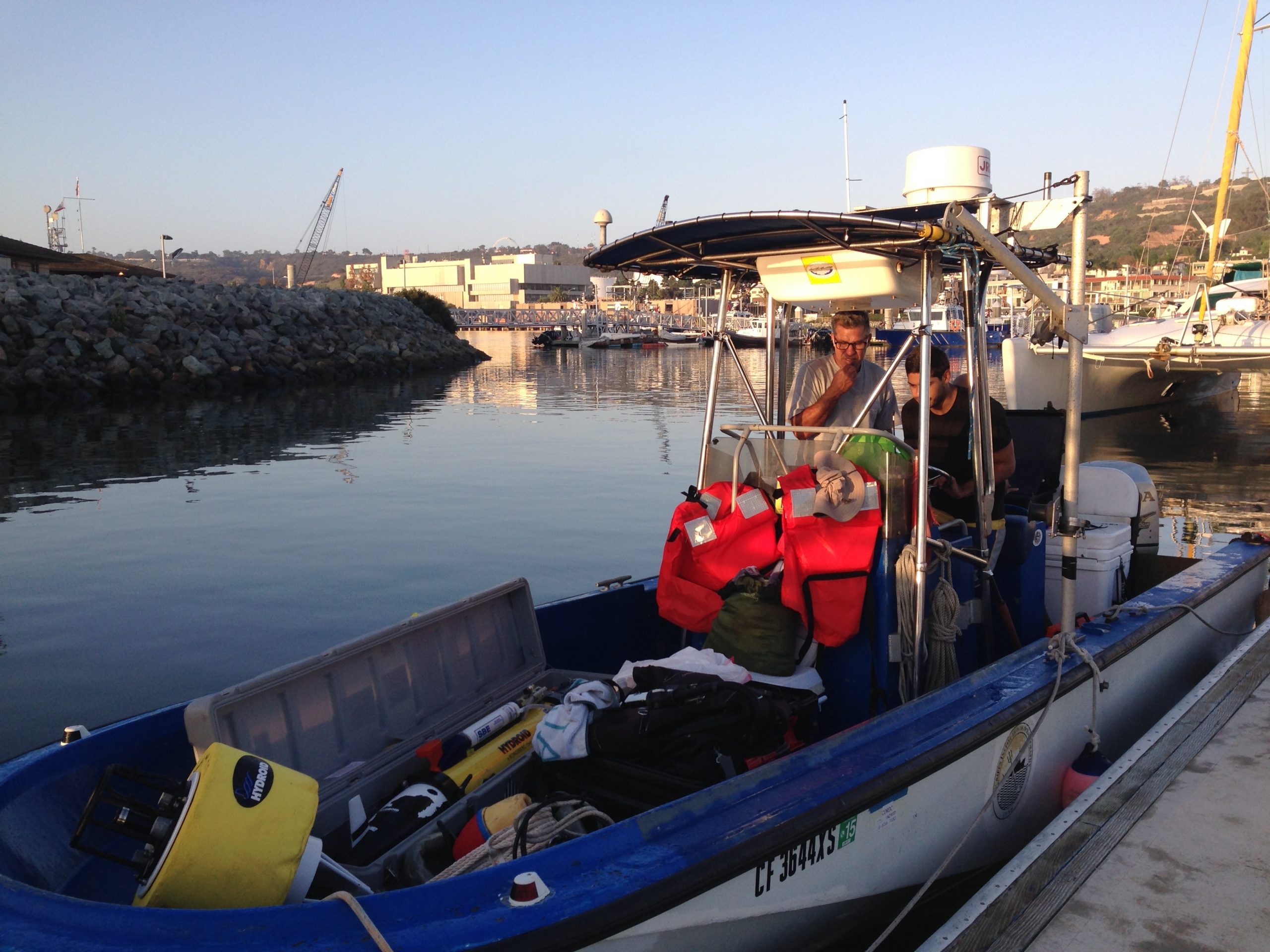
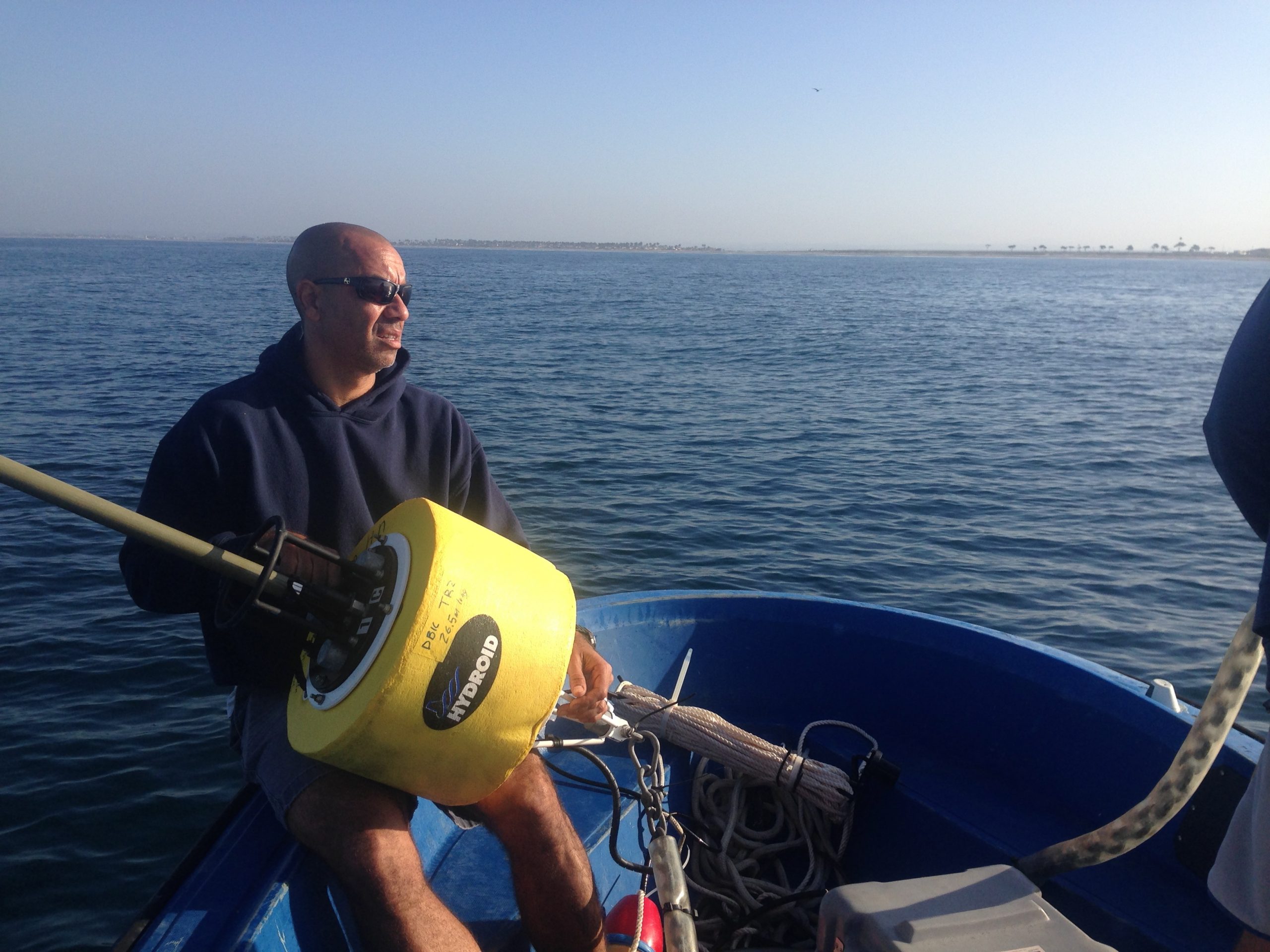
- prepping the ADCP/CTD/towed array boat

-
- towed array prep
-
- prepping the REMUS boat
-
- Kent and Andre prepping for the REMUS mission
-
- Geno prepping for REMUS
-
- REMUS is off!
-

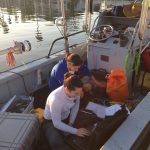
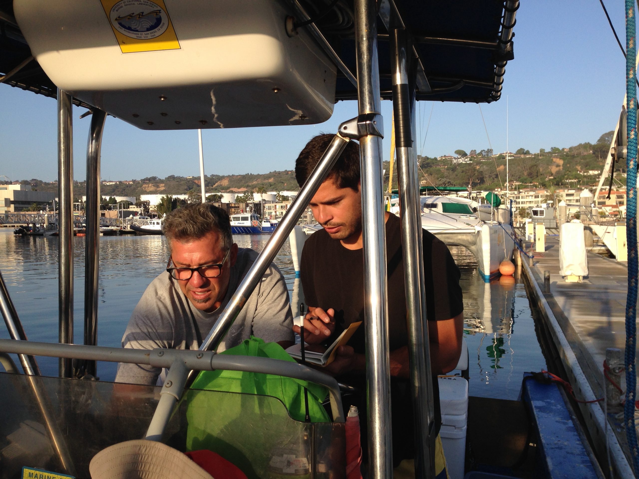
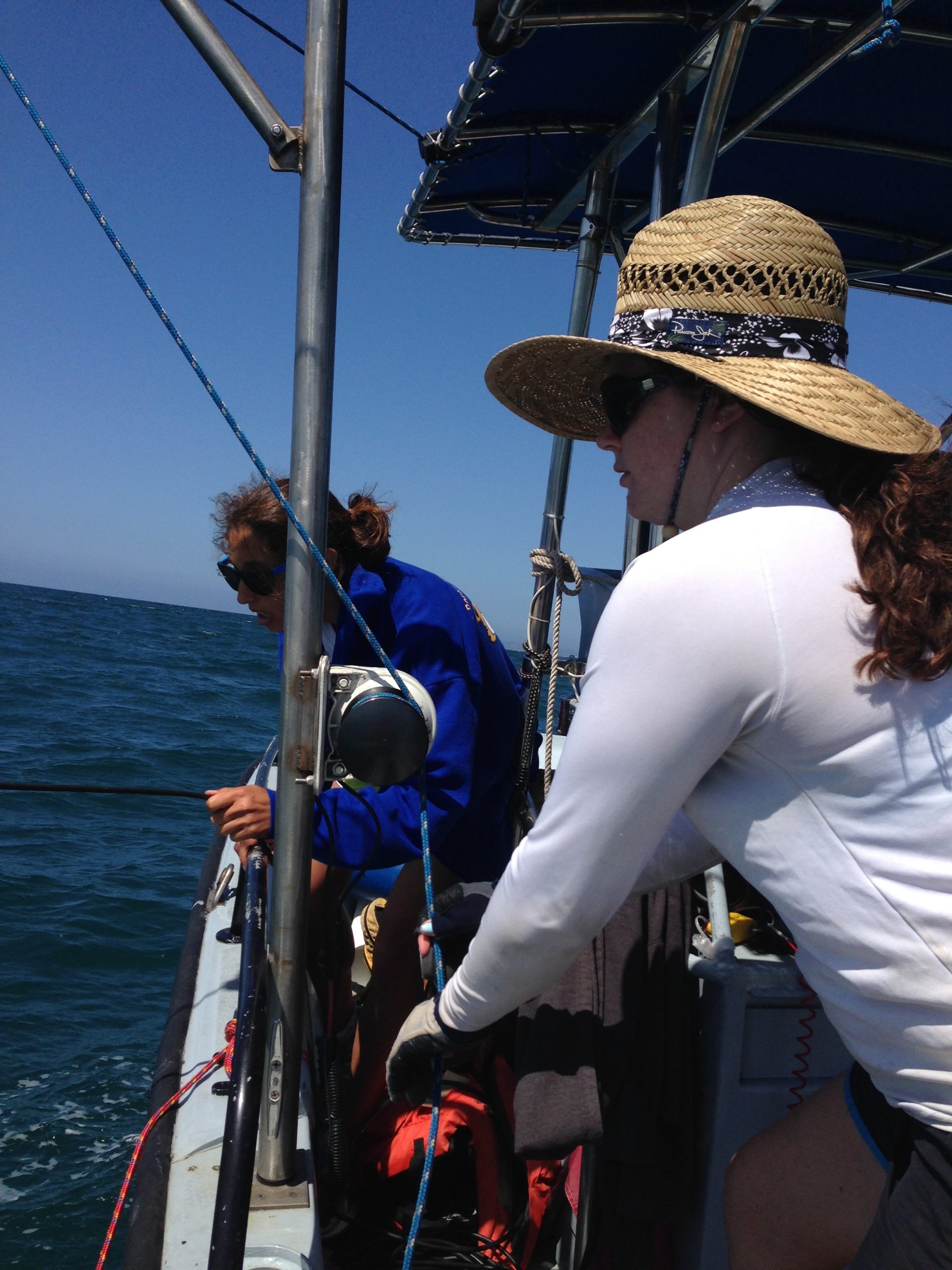
- Isa and Maddie doing a CTD cast
-
- stripes of dye looking towards Mexico, photo by Sarah Giddings

-
- in the dye plume, photo by Sarah Giddings
-

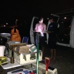
- HQ

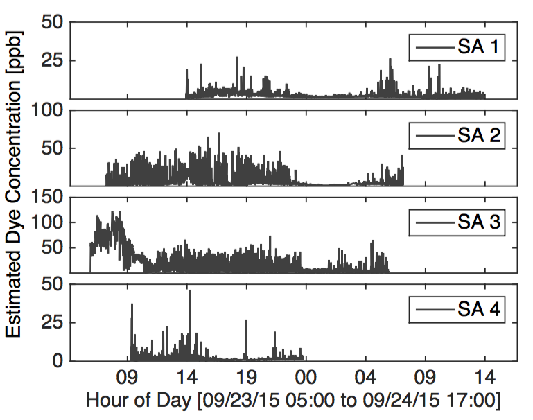
We have successfully concluded our first dye release experiment. The preliminary observations are promising, as we have comprehensive measurements of what turned out to be a spectacularly dynamic behavior. The raw standalone fluorometer data is substantive. The figure below illustrates the alongshore extent of the dye plume within the surf-zone. Thank you, to the numerous agencies that made these releases possible, keep our people and the public safe, and helped us coordinate a successful first mission! Thank you also to everyone who helped out: UCSD undergrads, lifeguards, and volunteers. We really appreciate all of you guys –without whom, such an extensive experiment is impossible–and we look forward to working with you in the surf during the two remaining releases.
Now this dye release was interesting because as we released dye at 5am, the surfzone currents carried the dye northward. Although some dye continued to go north, a lot of dye starting pooling around the IB pier and leaking offshore by 8am (see image above). Then the wind really started to blow out of the NW driving the surface waters to the south. This ended up splitting the dye plume in two. One part continued in the surfzone to the north – albeit at low concentrations that made its way all the way to Silver Strand State Park where SA1 was located. The second part starting flowing to the south and got stretched out dramatically in the alongshore. However, an intrusion of northward flowing water south of seacoast drive kept the dye plume from attaching to the shoreline. The two water masses may have been different inhibiting mixing? Very interesting and we are looking forward to more.
-
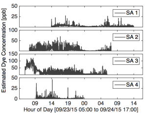
- Timeseries of raw, uncorrected, dye concentration at the standalone fluorometers SA1 to SA4. Note the non-zero dye concentrations at SA1 all the way to the north!
-
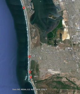
- Locations of the 4 Standalone fluorometers. Note how far north SA4 was
